
Where were these photos taken?Click on a picture to
see a large version. If you can identify any of these please use the comment or feedback link to let me know. 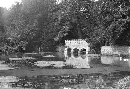 UPDATE: This has now been identified as the feature which used to be at one end of the lake in the grounds of Kearsney Abbey, Temple Ewell (a village near Dover). |
|
| Return to entry
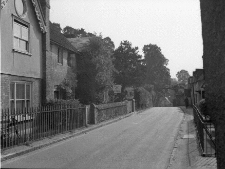  UPDATE: this has now been identified as Shere, a village in the area south of the A25 between Guildford and Dorking.
| |
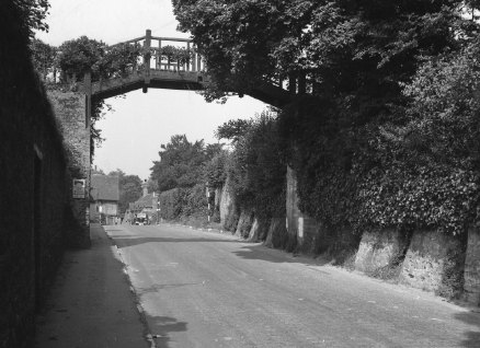
Return to entry  | | Return to entry 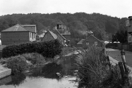 UPDATE - I've now been able to identify this: it's in the village of Temple Ewell, near Dover. A photo taken from further back, showing the Donkey Pub (now closed) can be seen in this page (second photo down): http://www.dover-kent.com/Donkey-Temple-Ewell.html You can download a Google Earth placemark here | | Return to entry 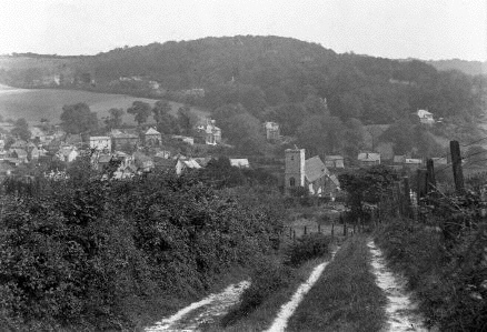 | | Return to entry | Quick Links About
Me: Roger Wilmut Archives
Calendar
Blogroll XML/RSS Feed
Statistics | ||||||||||||||||||||||

